Drone Services for Shipping & Logistics.
Aerial data for warehouses, fulfillment centers, and distribution yards — progress tracking, volumetric analysis, and marketing that supports faster decisions and better asset visibility.
Visibility for the
Supply Chain.
As logistics companies place consumer goods closer to the end user, warehouse and fulfillment center space is in high demand. Drones help shipping and logistics operators capture outdoor and indoor footage of infrastructure, equipment, and assets to support operations, marketing, and site planning.
Aerial Decisions provides drone services for warehouses, distribution centers, and logistics yards — from baseline mapping and site logistics planning to progress tracking, volumetric measurement, and marketing content that showcases high-volume commercial space.
Schedule a Consultation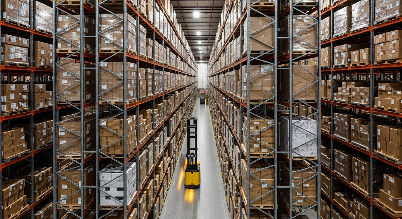
Solutions Across the Logistics Lifecycle
Warehouse & Fulfillment Center Marketing
Commercial realtors and developers use drones to capture outdoor and indoor warehouse footage that features infrastructure, equipment, and logistics assets. Whether you're selling a parcel of commercial real estate, developing a new distribution center, or marketing industrial warehouse space, aerial photography captures the project effectively.
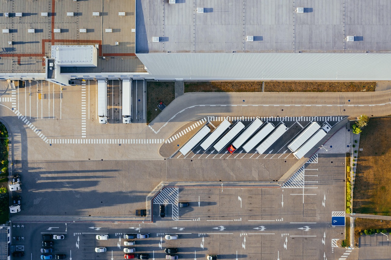
Site Logistics Planning
Baseline topographic mapping, existing condition surveys, and pre-bid site logistics planning. Use drone data to plan yard layout, truck flow, loading zones, and expansion before breaking ground.
Progress Tracking & Logistics Management
Regular drone flights for progress tracking, subcontractor verification, logistics management, and safety inspections. Monitor construction of new facilities, expansions, or yard improvements with timeline comparisons and visual documentation.

Volumetric Measurement
Survey-grade material quantity verification for stockpiles and inventory yards.

Digital Twins
Living 3D models and as-built records for facility management and documentation.

Interactive Dashboards
Shareable progress reports, volumetric summaries, and client-ready documentation.
Why Drones for Shipping & Logistics?
Replace slow manual inspections with rapid, high-accuracy aerial data collection.
Complete Visibility
See yard layout, truck flow, and asset placement from above with unparalleled clarity and real-time perspective.
Operational Speed
Quick deployment and rapid turnaround for time-sensitive decisions.
Enhanced Safety
Inspect hard-to-reach areas and active yards safely.
Historical Data
Timestamped records for compliance and as-built verification.
High-Impact Media
Stunning, cinematic aerial content designed for premium investor updates.
Frequently Asked Questions
Stop Guessing.
Start Tracking.
Aerial monitoring and documentation that gives you complete visibility across your logistics operations.