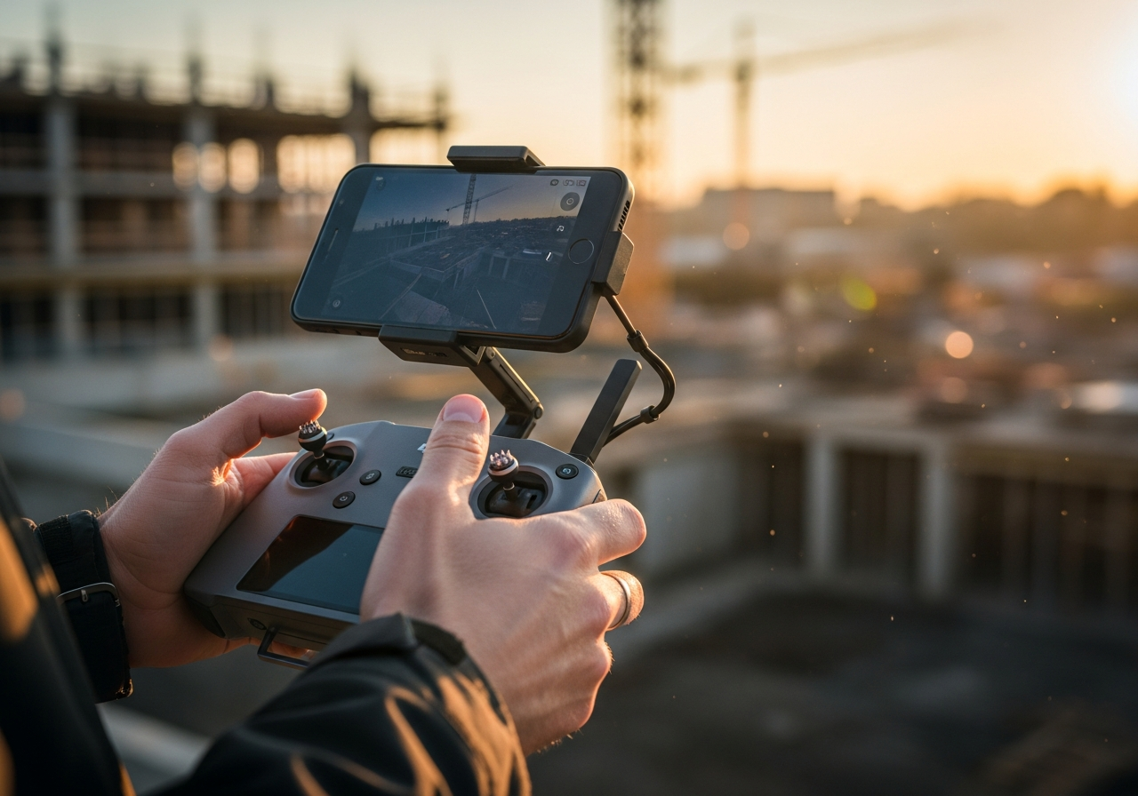
See your construction progress
with clarity and confidence.
Eliminate guesswork, reduce rework,
and keep every project on track.
Prove performance, build trust,
and win more future projects.
Win More Projects with
Drone Data That Delivers
Proof, Not Promises.
Show owners, investors, and partners your construction firm is efficient, accountable, and ready for growth.

Drone Progress Monitoring,
Mapping & Reality Capture
for Construction.
At Aerial Decisions, we help general contractors and developers turn drone data into actionable insights that keep projects on schedule, under budget, and ready to scale.
Through advanced drone progress monitoring, mapping, photogrammetry, and reality capture, we deliver the visual proof and measurable data today's construction teams need to make faster, smarter decisions — and win more future projects.
Start Your Progress Tracking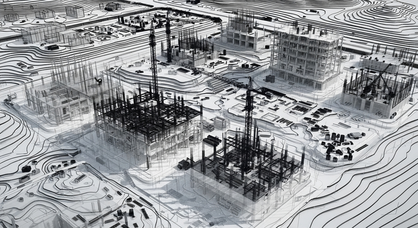
Data that protects your projects
and grows your business.
Accurate Data
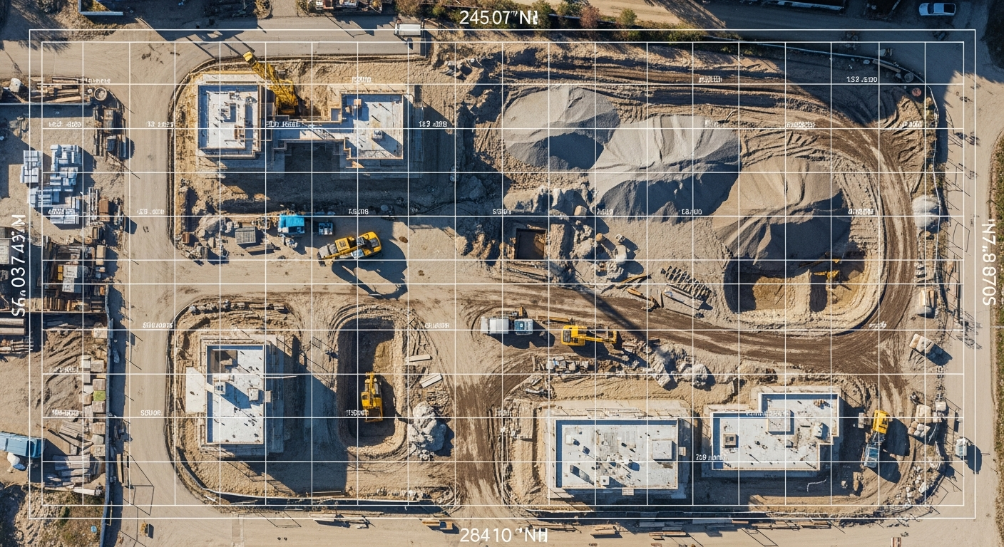
Verify subcontractor work and material quantities with geo-referenced precision. Our survey-grade flights deliver measurable, defensible data you can trust for real decisions — from cut-and-fill verification to as-built documentation.
Project Control
Identify issues early, prevent rework, and track progress across every project phase.
Accountability
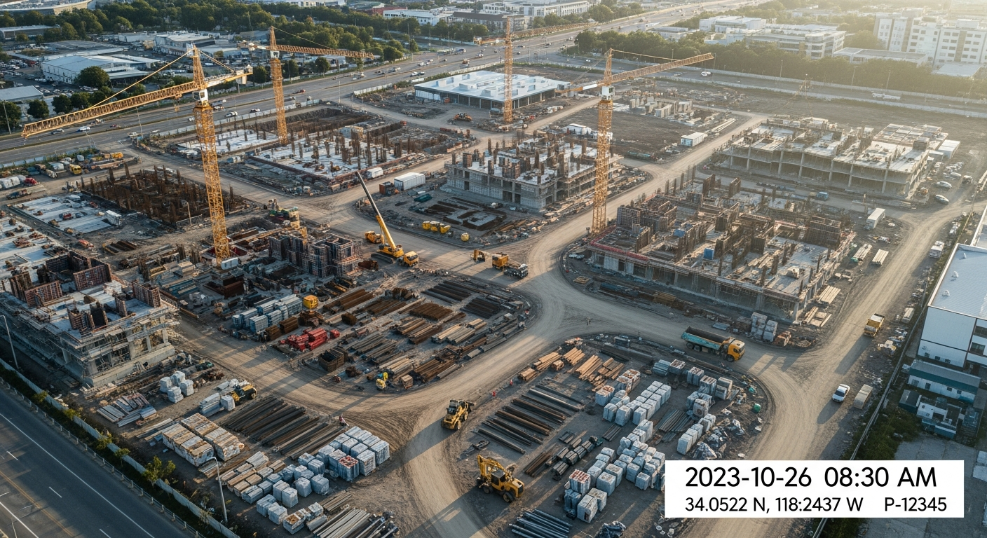
Hold suppliers and crews accountable with clear, timestamped visual documentation.
Transparency
Keep owners, stakeholders, and investors informed at every stage of the build.

Growth Advantage
Use data-backed progress reports to showcase your firm's readiness for larger, more complex projects.
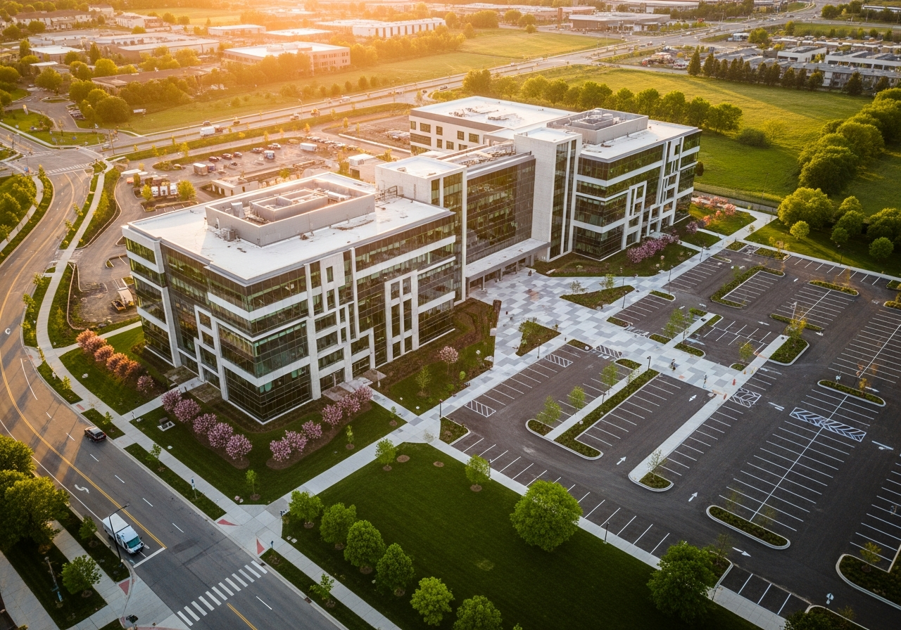
Drone Insights at Every
Project Phase.
Pre-Construction
Capture existing site conditions with high-resolution mapping and photogrammetry for planning and design validation.
Construction
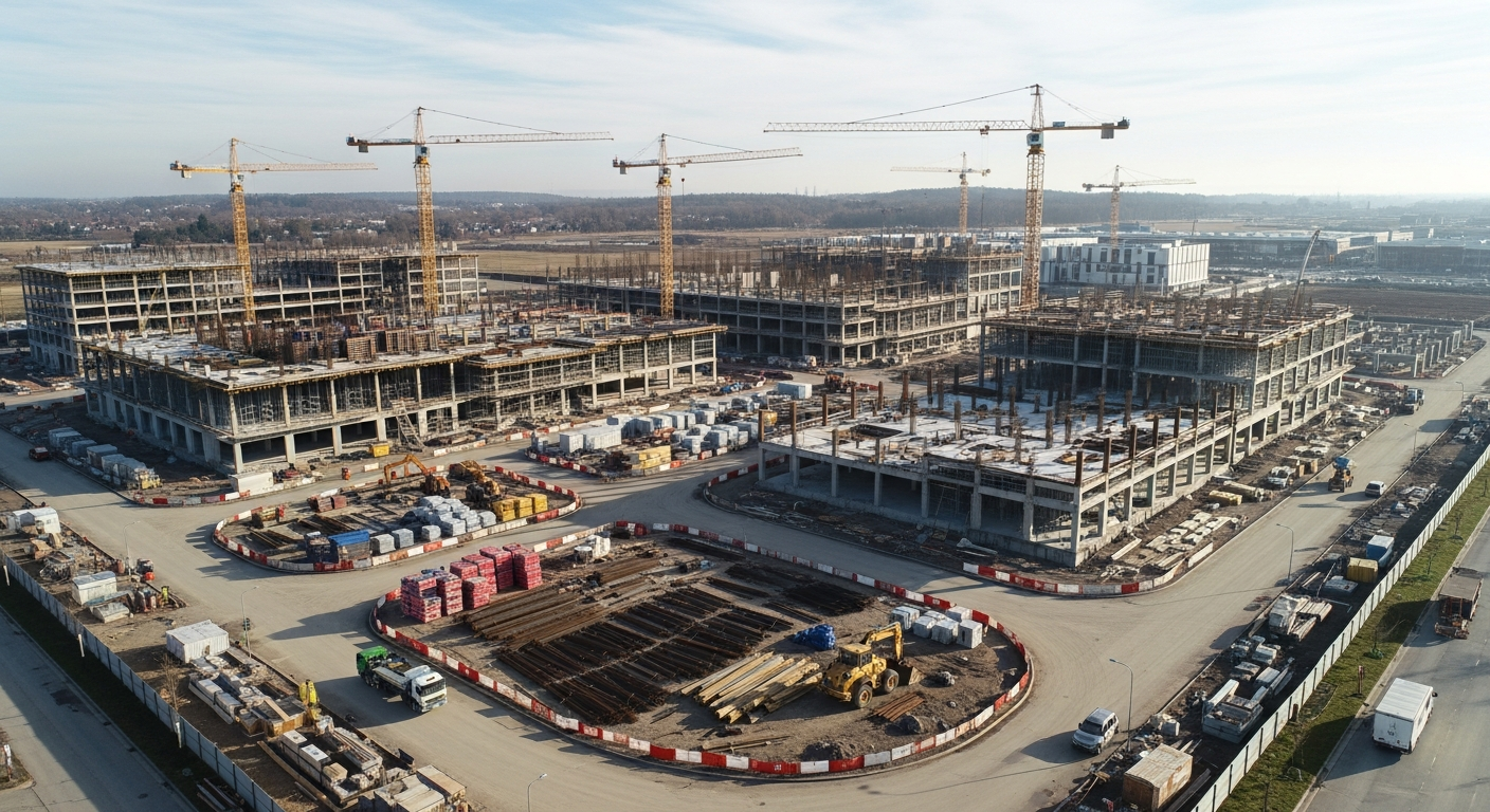
Regular drone flights for timeline comparisons, volumetric analysis, and inspections of hard-to-reach areas throughout the build.
Post-Construction
Deliver as-built records and digital twins for documentation, facility management, and future project reference.
Data That Drives
Decisions.
We combine leading software platforms with precision flight operations to produce accurate, shareable data — from cut-and-fill analysis and volumetric measurements to digital twins and interactive dashboards.
Your data is processed, visualized, and delivered in formats that seamlessly integrate into your existing project workflows, providing undeniable proof of progress and site conditions.
Cut & Fill Analysis
Precise earthwork calculations for budgeting and scheduling accuracy.
Volumetric Measurement
Material quantity verification to keep suppliers accountable.
Digital Twins
Living 3D models of your site updated with every flight cycle.
Interactive Dashboards
Shareable, client-ready reports your team and owners can access anywhere.
Uncompromising Standards.
Total Peace of Mind.
We take the hassle out of aerial operations. From meticulous pre-flight planning and ATC coordination to ensuring full legal compliance, we handle everything so you can focus on the data.
FAA Part 107 Certified
Every pilot in our network is fully licensed and compliant with all federal aviation regulations for commercial operations.

$1M+ Aviation Liability
All flights are 100% insured. We carry comprehensive personal aviation liability coverage to protect you and your assets.

Exceeding Safety Standards
Our teams adhere to strict Crew Resource Management principles. Every mission goes above and beyond industry safety guidelines.
100% Approval Guaranteed
We fly before you buy. Relax knowing the end result will be state-of-the-art aerial data that meets your exact needs.
Stop Guessing.
Start Measuring.
Get the precise aerial data you need to protect your timelines, hold contractors accountable, and confidently scale your firm.
Let's Talk About Your Next Project.
Send us a quick note about what you're looking for and we'll get right back to you. Most projects quoted within 24 hours.

New Client Discount
We're offering new clients 10% off qualifying aerial drone photography projects. Request a free consultation with one of our professional pilots today!
*New clients only. Applies to Bronze, Silver and Gold packages. Mention “New Client Discount.”
* The use of drones at outdoor locations may require advance approval from the FAA and/or local Air Traffic Control (ATC). Book drone services as far in advance as possible.
Book a Free Consultation Today!
Zoho Form Integration
Form embed will go here
Are You a Licensed Drone Pilot?
We're always looking for skilled, FAA Part 107 certified pilots to join our growing network. Work on real commercial projects — construction, mapping, inspections, and more.
Ready to fly with us? Apply today and start working on real projects.
Apply Now